This Venn diagram is a pretty neat representation of Greater LA (apologies to its creator... I've lost the source).
— L.A. Dork (@la_dorkout) May 12, 2023
East LA indeed is not part of LA (it's unincorporated). And some argue that West Hollywood is not the Westside (but parts are, if you go by "west of La Cienega."). pic.twitter.com/WuENVDtgEQ
Showing posts with label map. Show all posts
Showing posts with label map. Show all posts
Sunday, May 21, 2023
Simple map of Los Angeles if you've ever been curious about the difference between LA County and LA city
Friday, May 5, 2023
Romantic image of the Pacific and Atlantic Oceans kissing thanks to the Panama Canal
Imagining a guy in the interwar period who was buried in an unmarked grave in the Panamanian jungle after dying of malaria bc he saw this and was like “damn, that’s true tho the oceans really do need to kiss” pic.twitter.com/fqwGzlTFFS
— shirtlessly posting (@DarthBeavis_) April 29, 2023
*Previously: A Panama Canal pilot manuevers a miniature tugboat during a training day at the Panama Canal's scale model maneuvering training facility
Thursday, November 12, 2020
Blade Runner origami ornament; Wind direction charts for the coast of Brazil; Clearly the best book cover for The Fountainhead
The Unicorn. My first ornament. Made of solid die cast metal. It’ll be on sale this coming Saturday exclusively as part of Thought Bubble online, at my store - https://t.co/pwKNhxvgdB pic.twitter.com/R86006eN51
— Matt Ferguson (@Cakes_Comics) November 10, 2020
Someone in my feed recently tweeted one of these charts for coastal Brazil; these are amazing. Wind-direction charts of the open ocean, where space is cataloged in terms of numbers and intensities, as if navigating the cosmos. Occult spacetime maps. [https://t.co/QKRXGDuSUl] pic.twitter.com/uvj2V9NsSW
— Geoff Manaugh (@geoffmanaugh) November 11, 2020
Costume Concepts (and hair) for Kristen Stewart's Norah, from Underwater, 2017 (Dir: William Eubank) Back when I drew like a grown-up. pic.twitter.com/FIXIwsYJbf
— Calum Alexander Watt (@CalumAWatt) November 10, 2020
We've had so long of people normalising "THINGS CAN ALWAYS GET WORSE" that I think a lot of you have forgotten the other vital principle: "THINGS CAN ALWAYS GET WEIRDER". pic.twitter.com/3CylCwujWR
— 🔊 💚 BASS, MIDS, TOPS OUT NOW 💚 🔊 (@joemuggs) November 10, 2020
If I were forced to own a copy, I’d go to considerable lengths for it to be this particular edition! https://t.co/XvLe2imh7W
— William Gibson (@GreatDismal) November 11, 2020
Wednesday, September 9, 2020
"A commercial satellite photo may reveal a new Chinese space plane just moments after it landed at a remote site on the western side of China"
NPR:
Related, another secret uncovered:
And one more:
"I'm reading a lot into a few little dots," admits Jonathan McDowell, an astronomer with the Harvard-Smithsonian Center for Astrophysics, who diligently tracks spacecraft and satellites. ButFrom a thread about identifying the airstrip:
...
So why might China now be getting into space planes?
"It's a great question," says Brian Weeden, director of program planning for the Secure World Foundation, which advocates for the peaceful use of space. "We're not even really sure why the U.S. military is pursuing a space plane."
HI EVERYBODY! Over the past few days, I've been thinking a lot about this mysterious airstrip in China.— Geoff Brumfiel (@gbrumfiel) September 9, 2020
This is the place where @planet4589 @Marco_Langbroek @DutchSpace and others think China's new space plane landed on 6 Sept... (photo 8 Sep via @planetlabs).
Let's talk! pic.twitter.com/2znOenlgZc
So is there a runway that DOES look like Lop Nur anywhere in the world? Well yes, actually I happened to find one… in Florida. pic.twitter.com/6LeFbi6EJa— Geoff Brumfiel (@gbrumfiel) September 9, 2020
Related, another secret uncovered:
This very good piece has some incredible photos, but they missed my favourite thing you can discover using this method. https://t.co/X2v9Hz9iBb— alex hern (@alexhern) August 27, 2020
It looks like yet more landscape, until you realise the scale is off: it's huge by human standards, but those aren't mountain peaks. Instead, it's more like… a giant map? But where of? pic.twitter.com/CMQVTJPRK2— alex hern (@alexhern) August 27, 2020
What this is is a gigantic – 900m x 700m – recreation of Aksai Chin, part of the disputed territory between India and China, as well as a chunk of southern Tibet.— alex hern (@alexhern) August 27, 2020
The best theory I've read for why this exists is that it's to train Chinese tank commanders about the terrain they'd be encountering were the border disputes between the two countries to get… a little hotter.— alex hern (@alexhern) August 27, 2020
And one more:
Cool map, assembled by Andrei Conovaloff, marks the locations of dozens of old Corona satellite calibration targets in the desert. https://t.co/ySc5m1Isxw | via @DowntownJCO @AJKhn pic.twitter.com/Tmie42LlvM— Geoff Manaugh (@geoffmanaugh) September 7, 2020
Saturday, May 23, 2020
Maps and diagrams from the Star Trek The Next Generation episode "Conspiracy" about the throat parasites
#StarTrek #TNG 125 "Conspiracy"— Trek Maps (@TrekMaps) May 19, 2020
> Mira Antlia V: Dytallix B
(Left: SD Original; Right: HD Remaster) pic.twitter.com/cRJ0H1lM31
Here are some map graphics that flash quickly on-screen when Data is researching abnormalities in Starfleet orders in TNG 125 "Conspiracy".— Trek Maps (@TrekMaps) May 20, 2020
(From the HD Remaster) pic.twitter.com/qHsFZ562jl
#StarTrek #TNG 125 "Conspiracy"— Trek Maps (@TrekMaps) May 22, 2020
> The Explored Galaxy
(Left: SD Original; Right: HD Remaster) pic.twitter.com/CoVTwFtuL2
NOTE 2: As most Trekkies are aware, this map is filled with #TOS and #TAS references and has shown up in a lot of places. Not even just in #StarTrek.https://t.co/G9UDGDGuWBhttps://t.co/pnuhLLk8sc pic.twitter.com/FIrOaOXU5l— Trek Maps (@TrekMaps) May 22, 2020
NOTE 4: More info on the #StarTrek #TNG 125 "Conspiracy" map from @eas_trek.https://t.co/jAeGB11LB4 pic.twitter.com/Cb85fhyuXE— Trek Maps (@TrekMaps) May 22, 2020
*Previously: The Enterprise in “Star Trek: The Next Generation” had a deck called Cetacean Ops, where dolphins and whales were crew mates
Wednesday, May 20, 2020
Big game hunter; River map; Off-model Gundam
— yago de amorim (@yagodeamorimdia) May 2, 2020
absolutely obsessed with this massive wave illusion artwork in korea pic.twitter.com/fir3V85geI— juan (@juanbuis) May 14, 2020
Ancient Courses of the Cupboard River Meander Belt pic.twitter.com/wbjlTKli5h— Robert Hodgin (@flight404) May 14, 2020
Detail of the Wild River Meander Belt pic.twitter.com/GuG81e3g7J— Robert Hodgin (@flight404) May 14, 2020
Ancient Courses of the Baldknob River Meander Belt pic.twitter.com/4jj9zo5wH4— Robert Hodgin (@flight404) May 14, 2020
Today I learned the famous hilariously off-model episodes of the original Gundam were drawn while the animation director was in the hospital with pleurisy, watching the nightmare show the show had become, helplesshttps://t.co/nqFGFrIVSZ pic.twitter.com/R7aQsRQ79w— Two Abby Dentons: A Door to the Past (@mizabitha) May 15, 2020
— ᴱᴬᴿᵀᴴᴱᴬᵀᴱᴿ (@D1C0MM) May 15, 2020
Monday, December 3, 2018
"here are some gulls making a mysterious daily trip that turned out to be to a potato chip factory"
And here are some gulls making a mysterious daily trip that turned out to be to a potato chip factory pic.twitter.com/pZtRoJ83FZ— Brooke Jarvis (@brookejarvis) August 13, 2018
Here is a vulture riding a thermal pic.twitter.com/MD2nxThpzg— Brooke Jarvis (@brookejarvis) August 13, 2018
Today's delightful library find: Where the Animals Go, a book of maps showing animal migrations and movements. Here are arctic terns, being amazing pic.twitter.com/4tMha64xkB— Brooke Jarvis (@brookejarvis) August 13, 2018
Thursday, September 27, 2018
"Native-Land is a website dedicated to helping people across the world learn more about their local Indigenous history"
Enter your zipcode at the map for information about who lived there before you.
Sunday, March 18, 2018
Zarana painting; Vintage map of South America; How logos used to be assembled
I painted Zarana for @YesteryearComic's variant for G.I. Joe: A Real American Hero #249 by @IDWPublishing. This was very much inspired by those old pulp covers. pic.twitter.com/Gyzc0jBEcR— Miguel Mercado (@merkymerx) February 15, 2018
11x17 Death Vader commission. pic.twitter.com/BjZ9baQipO— Daniel WarrenJohnson (@danielwarrenart) March 13, 2018
STAGECOACH MARY FIELDS— FrancescoFrancavilla (@f_francavilla) March 16, 2018
Gun-totin’, Badass, First Black Woman hired by US Postal Service (1895). At 60yrs old, Mary proved herself the fastest applicant to hitch a team of 6 horses & was hired. Living proof of “be so darn good that they can’t ignore you” #WomensHistoryMonth #Day15 pic.twitter.com/kWnDvCT7VS
NEW TODAY AT ECCC!— Aud Koch (@audkoch) March 3, 2018
A set of 5x7" Wiccan (in his Sorceror Supreme outfit) prints!
You can buy them from me at H-1 in the Artists' Alley.
❤️❤️❤️ pic.twitter.com/rWG3Za8UJX
Went a different route for this project. Here's my vision of what the @Jaguars helmet would look like if they were part of the 1976 expansion versus the '95 expansion. #helmetnerd pic.twitter.com/mFYmhRFf9B— The Tao of Steve B. (@SteveBCreations) March 16, 2018
— OnlMaps (@onlmaps) March 12, 2018
I love when this happens: I just got an email that someone bought 3 tank tops of my (very old) ping pong or die design (no idea what color though). Some things sit in my shops for years before anyone buys them. Glad I didn’t mix the design. 👍🏻 pic.twitter.com/sc6B9pxzzL— Andrew Burgertron 🍔🤖[👖] (@gimetzco) March 8, 2018
1986 the construction of the logo, magic markers -white out copy machine -Exacto knife ..no computer or Photoshop pic.twitter.com/67SV6vFK2H— Chuck D (@MrChuckD) August 3, 2014
Sunday, August 6, 2017


Tuesday, December 13, 2016
“'Alexander’s Gates' . . . This myth was the Pacific Rim of its day"
Bldg:
I was also reminded of another famous military wall constructed in a remote mountain landscape to keep a daunting adversary at bay, the so-called “Alexander’s Gates,” a monumental—and entirely mythic—architectural project allegedly built by Alexander the Great in the Caucasus region to keep monsters out of Europe. This myth was the Pacific Rim of its day, we might say.
I first encountered the story of Alexander’s Gates in Stephen T. Asma’s book, On Monsters.
Alexander supposedly chased his foreign enemies through a mountain pass in the Caucasus region and then enclosed them behind unbreachable iron gates. The details and the symbolic significance of the story changed slightly in every medieval retelling, and it was retold often, especially in the age of exploration. (…) The maps of the time, the mappaemundi, almost always include the gates, though their placement is not consistent.
Monday, October 10, 2016


Tuesday, March 1, 2016
Link roundup
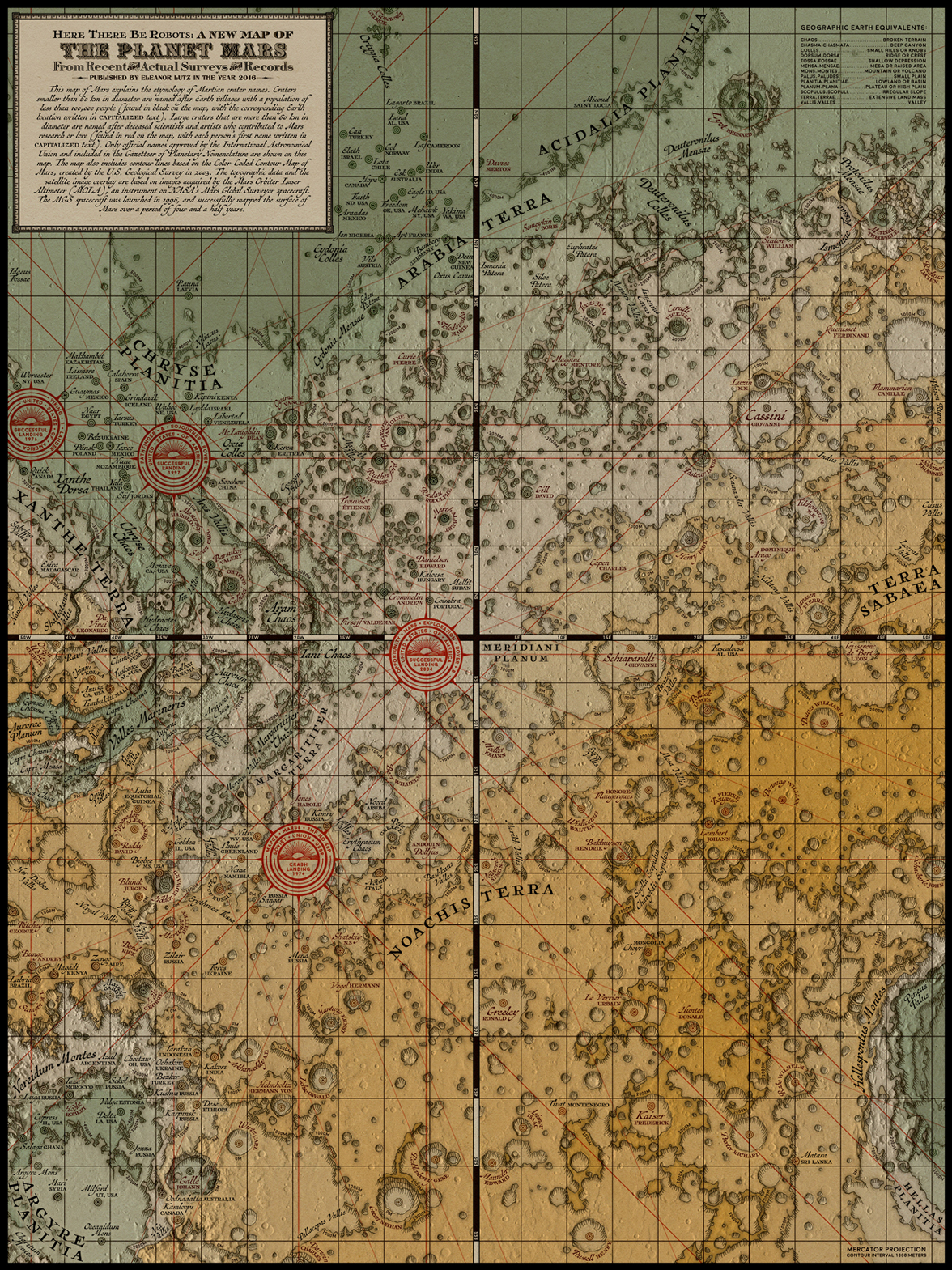
1. Victorian-style map of Mars.
2. The success of Harry Potter:
2. The success of Harry Potter:
Because readers imagine themselves in the universe, there are kind of two stories taking place- one being the "Harry Potter" story, and the other being the story that the reader creates for themselves as they imagine exploring the world and reacting to the world's events. This is why I think Harry Potter is so fondly remembered, people don't just remember the story of Harry, but they additionally remember their own adventures that they created for themselves along the way.3. "Japanese prosecutors indicted three former executives of the Tokyo Electric Power Company, owner of the ruined Fukushima Daiichi Nuclear Power Station, on Monday, charging them with criminal negligence for their role in reactor meltdowns after an earthquake and tsunami five years ago."
Of course, these choices go beyond just the houses. There are many other options that J.K. gives readers that really lets them imagine themselves (or a character they create) as a character in the books. We've got:
What kind of pet you would take to Hogwarts: an owl, cat, or rat (and the specifics of that pet, like color, personally, and so on)?
What kind of materials your wand would be made out of and what it would look like?
What position would you play in Quidditch?
What kind of broom would you buy?
What classes you would take at Hogwarts?
What would your patronus be?
What kind of spells would you learn?
Prosecutors initially declined to bring charges in the case. They said there was not enough evidence that failings by Tepco or its leaders had amounted to criminal wrongdoing. But their decision angered Fukushima residents and antinuclear campaigners, who formed the organization led by Ms. Muto, the Fukushima Nuclear Disaster Plaintiffs Group, to demand a review.4. Covert garage door.
A rarely used feature of Japanese law allows committees made up of private citizens to examine prosecutors’ decisions regarding whether to indict suspects. In certain circumstances, they can order those decisions reversed.
Friday, February 26, 2016
"What if not just one random building or street, however, but an entire map is deliberately wrong?"
TandL:
This is the strange fate of digital mapping products in China: there, every street, building, and freeway is just slightly off its mark, skewed for reasons of national and economic security.
Wednesday, December 30, 2015
Link roundup
1. "In defense of paying $400 to eat at the Times Square Olive Garden on New Year’s Eve"
3. From October, "Top curling teams say they won't use high-tech brooms"
Your perfect New Year’s Eve experience involves taking your wife to New York City and watching the ball drop in Times Square. But you imagine doing it from a warm, hospitable place with good music, lots of food and booze, and clean restrooms that are not an adult diaper. This is exactly what the Olive Garden is offering2. "Western games use map detail to create a sense of exploration or story that is absent from the game play. Eastern markets don't have as much demand for an exploration experience, so Eastern games streamline the map to maintain laser-sharp focus on score and competition."
3. From October, "Top curling teams say they won't use high-tech brooms"
Gushue, Howard, Jones among 34 teams that won't use brooms with 'directional fabric'
Tuesday, August 25, 2015
New book collects Andrew DeGraff's literary maps


Plotted: A Literary Atlas:
This incredibly wide-ranging collection of maps—all inspired by literary classics—offers readers a new way of looking at their favorite fictional worlds. Andrew DeGraff’s stunningly detailed artwork takes readers deep into the landscapes from The Odyssey, Hamlet, Pride and Prejudice, Invisible Man, A Wrinkle in Time, Watership Down, A Christmas Carol, and more. Sure to reignite a love for old favorites and spark fresh interest in more recent works as well, Plotted provides a unique new way of appreciating the lands of the human imagination.
Sunday, June 21, 2015


Friday, January 2, 2015
"HarperCollins omits Israel from maps for Mideast schools, citing ‘local preferences’"
WaPo on the atlas, which is available at Amazon:
For months, publishing giant HarperCollins has been selling an atlas it says was “developed specifically for schools in the Middle East.”
Thursday, November 13, 2014
I have, as a mind experiment, made a map of what Africa could have looked like in the mid 19th century if Europe had never become a colonizing world power. In order to do this I have tried to construct an alternative historical time-line in which Europe was much harder struck by the plague in the 1350's and never recovered. Therefore African nations would have gotten the opportunity to flourish unhindered.
But the project is really about real historical precolonial African nations, and I have tried to form a map of the most prominent of those that existed between the 15th and mid 19th century, by looking at historical maps like the one found in UNESCO's “A General History of Africa”, linguistic regions and natural boundaries.
Friday, September 26, 2014


Subscribe to:
Posts (Atom)